
Bristol Township topographic map
Interactive map
Click on the map to display elevation.
About this map
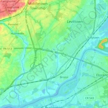
Name: Bristol Township topographic map, elevation, terrain.
Location: Bristol Township, Bucks County, Pennsylvania, United States (40.07055 -74.91484 40.17548 -74.81570)
Average elevation: 16 m
Minimum elevation: -8 m
Maximum elevation: 74 m