
Gulf Breeze topographic map
Interactive map
Click on the map to display elevation.
About this map
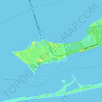
Name: Gulf Breeze topographic map, elevation, terrain.
Location: Gulf Breeze, Santa Rosa County, Florida, United States (30.34079 -87.20695 30.38181 -87.11673)
Average elevation: 1 m
Minimum elevation: -3 m
Maximum elevation: 17 m