
Clayton topographic map
Interactive map
Click on the map to display elevation.
About this map
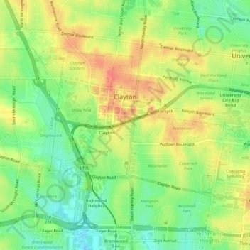
Name: Clayton topographic map, elevation, terrain.
Location: Clayton, Saint Louis County, Missouri, United States (38.63362 -90.35389 38.65822 -90.30340)
Average elevation: 169 m
Minimum elevation: 140 m
Maximum elevation: 200 m