
Bay Lake topographic map
Interactive map
Click on the map to display elevation.
About this map
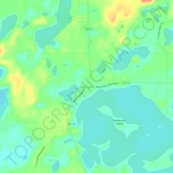
Name: Bay Lake topographic map, elevation, terrain.
Location: Bay Lake, Crow Wing County, Minnesota, 56444, United States (46.38941 -93.89387 46.42941 -93.85387)
Average elevation: 392 m
Minimum elevation: 376 m
Maximum elevation: 426 m