
Wegel Tena topographic map
Interactive map
Click on the map to display elevation.
About this map
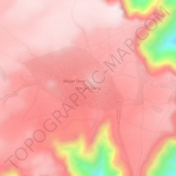
Name: Wegel Tena topographic map, elevation, terrain.
Location: Wegel Tena, North Wollo, Amhara Region, Ethiopia (11.57187 39.19432 11.61187 39.23432)
Average elevation: 2,936 m
Minimum elevation: 2,434 m
Maximum elevation: 3,070 m