
Kahramankazan topographic map
Interactive map
Click on the map to display elevation.
About this map
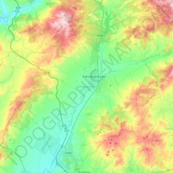
Name: Kahramankazan topographic map, elevation, terrain.
Location: Kahramankazan, Ankara, Central Anatolia Region, 06980, Turkey (40.02499 32.51208 40.34790 32.90049)
Average elevation: 1,087 m
Minimum elevation: 783 m
Maximum elevation: 1,689 m