
Alsted topographic map
Interactive map
Click on the map to display elevation.
About this map
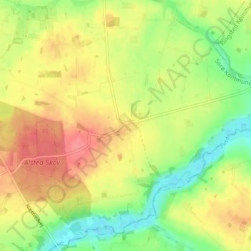
Name: Alsted topographic map, elevation, terrain.
Location: Alsted, Sorø Municipality, Region Zealand, 4173, Denmark (55.38565 11.64718 55.42565 11.68718)
Average elevation: 40 m
Minimum elevation: 6 m
Maximum elevation: 71 m