
Pearl City topographic map
Interactive map
Click on the map to display elevation.
About this map
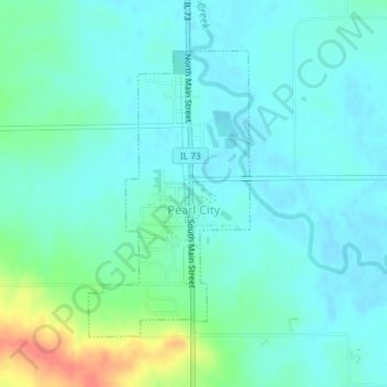
Name: Pearl City topographic map, elevation, terrain.
Location: Pearl City, Stephenson County, Illinois, United States (42.25640 -89.83590 42.27639 -89.82065)
Average elevation: 258 m
Minimum elevation: 246 m
Maximum elevation: 300 m