
Reisterstown topographic map
Interactive map
Click on the map to display elevation.
About this map
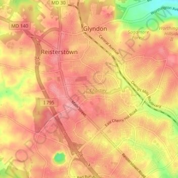
Name: Reisterstown topographic map, elevation, terrain.
Location: Reisterstown, Baltimore County, Maryland, United States (39.43375 -76.83781 39.48426 -76.78328)
Average elevation: 199 m
Minimum elevation: 131 m
Maximum elevation: 231 m