
Gustine topographic map
Interactive map
Click on the map to display elevation.
About this map
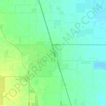
Name: Gustine topographic map, elevation, terrain.
Location: Gustine, Merced County, California, United States (37.24576 -121.02082 37.26718 -120.96080)
Average elevation: 30 m
Minimum elevation: 22 m
Maximum elevation: 40 m
Gustine is a city in Merced County, California, United States. Gustine is located 29 miles (47 km) west of Merced, at an elevation of 98 feet (30 m). At the 2010 census, the city population was 5,520, up from 4,698 at the 2000 census.