
Harrison topographic map
Interactive map
Click on the map to display elevation.
About this map
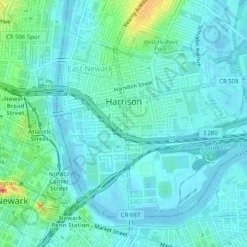
Name: Harrison topographic map, elevation, terrain.
Location: Harrison, Hudson County, New Jersey, 07029, United States (40.73350 -74.16609 40.75397 -74.13749)
Average elevation: 9 m
Minimum elevation: -3 m
Maximum elevation: 45 m