
Grand Falls topographic map
Click on the map to display elevation.
About this map
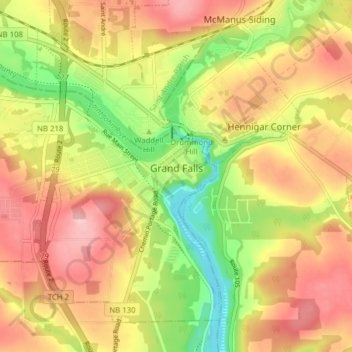
Name: Grand Falls topographic map, elevation, terrain.
Location: Grand Falls, Victoria County, New Brunswick, Canada (47.02299 -67.79020 47.06722 -67.71237)
Average elevation: 178 m
Minimum elevation: 86 m
Maximum elevation: 255 m
Victoria County trails, hiking, mountain biking, running and outdoor activities
Other topographic maps
Click on a map to view its topography, its elevation and its terrain.