
Churchill Falls topographic map
Interactive map
Click on the map to display elevation.
About this map
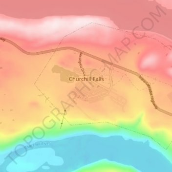
Name: Churchill Falls topographic map, elevation, terrain.
Location: Churchill Falls, Labrador, Newfoundland and Labrador, Canada (53.51561 -64.03141 53.54663 -63.96069)
Average elevation: 341 m
Minimum elevation: 120 m
Maximum elevation: 509 m