
Cranberry Portage topographic map
Interactive map
Click on the map to display elevation.
About this map
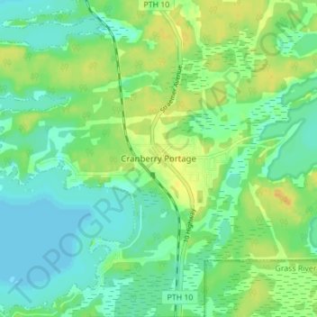
Name: Cranberry Portage topographic map, elevation, terrain.
Location: Cranberry Portage, Manitoba, Canada (54.56636 -101.39847 54.60636 -101.35847)
Average elevation: 300 m
Minimum elevation: 290 m
Maximum elevation: 314 m