
Island View Beach topographic map
Interactive map
Click on the map to display elevation.
About this map
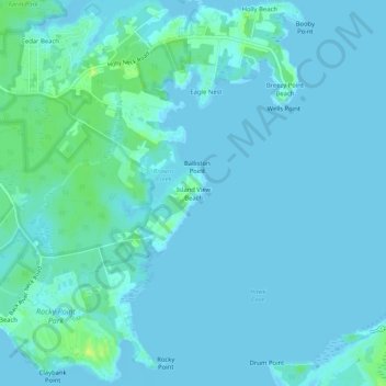
Name: Island View Beach topographic map, elevation, terrain.
Location: Island View Beach, Baltimore County, Maryland, United States (39.24677 -76.41663 39.28677 -76.37663)
Average elevation: 3 m
Minimum elevation: -2 m
Maximum elevation: 18 m