
Rapide Blanc topographic map
Interactive map
Click on the map to display elevation.
About this map
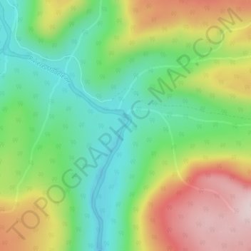
Name: Rapide Blanc topographic map, elevation, terrain.
Average elevation: 316 m
Minimum elevation: 168 m
Maximum elevation: 535 m
Other topographic maps
Click on a map to view its topography, its elevation and its terrain.
Gaspésie
Canada > Quebec > La Haute-Gaspésie > Mont-Albert
Gaspésie, Mont-Albert, La Haute-Gaspésie, Gaspésie–Îles-de-la-Madeleine, Quebec, Canada
Average elevation: 459 m
Rapide Blanc
Canada > Quebec > La Haute-Gaspésie > Mont-Albert
Rapide Blanc, Mont-Albert, La Haute-Gaspésie, Gaspésie–Îles-de-la-Madeleine, Quebec, Canada
Average elevation: 371 m
Lacs du Castor
Canada > Quebec > La Haute-Gaspésie > Mont-Albert
Lacs du Castor, Mont-Albert, La Haute-Gaspésie, Gaspésie–Îles-de-la-Madeleine, Quebec, Canada
Average elevation: 825 m