
Larned topographic map
Interactive map
Click on the map to display elevation.
About this map
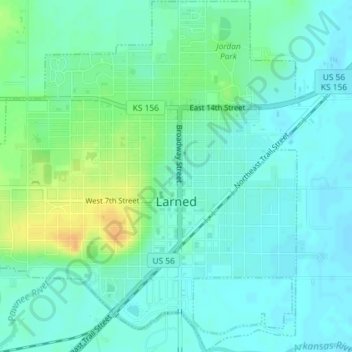
Name: Larned topographic map, elevation, terrain.
Location: Larned, Pawnee County, Kansas, 67550, United States (38.16848 -99.11939 38.19674 -99.08322)
Average elevation: 616 m
Minimum elevation: 607 m
Maximum elevation: 638 m