
Enniskillen topographic map
Interactive map
Click on the map to display elevation.
About this map
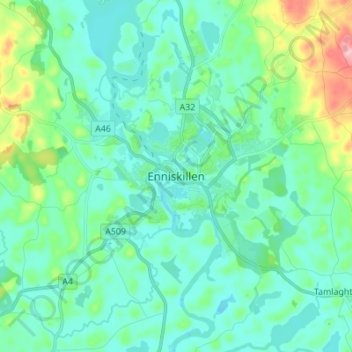
Name: Enniskillen topographic map, elevation, terrain.
Average elevation: 66 m
Minimum elevation: 35 m
Maximum elevation: 192 m
Other topographic maps
Click on a map to view its topography, its elevation and its terrain.
Hay Island
United Kingdom > Northern Ireland > County Fermanagh
Hay Island, County Fermanagh, Ulster, Northern Ireland, United Kingdom
Average elevation: 49 m