
Western Springs topographic map
Interactive map
Click on the map to display elevation.
About this map
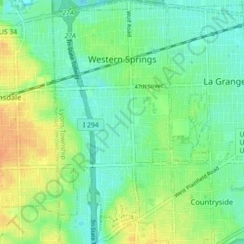
Name: Western Springs topographic map, elevation, terrain.
Average elevation: 206 m
Minimum elevation: 193 m
Maximum elevation: 226 m
Other topographic maps
Click on a map to view its topography, its elevation and its terrain.
Chicago, North Shore & Milwaukee
United States > Illinois > Cook County > Northbrook > Williamsburg Square
Average elevation: 198 m