
South Lyon topographic map
Interactive map
Click on the map to display elevation.
About this map
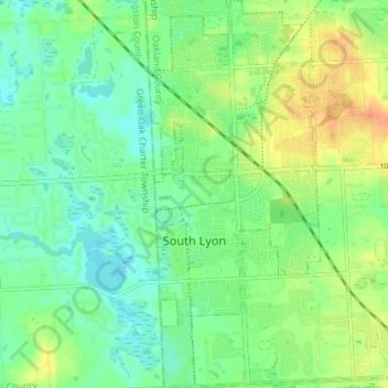
Name: South Lyon topographic map, elevation, terrain.
Location: South Lyon, Oakland County, Michigan, United States (42.43118 -83.66766 42.48421 -83.63579)
Average elevation: 282 m
Minimum elevation: 268 m
Maximum elevation: 304 m