
Monticello topographic map
Interactive map
Click on the map to display elevation.
About this map
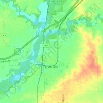
Name: Monticello topographic map, elevation, terrain.
Location: Monticello, Piatt County, Illinois, 61856, United States (40.00302 -88.60804 40.06882 -88.54583)
Average elevation: 210 m
Minimum elevation: 192 m
Maximum elevation: 235 m