
Ålberga topographic map
Interactive map
Click on the map to display elevation.
About this map
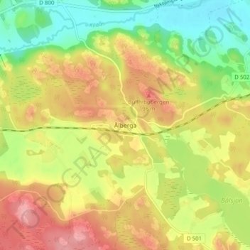
Name: Ålberga topographic map, elevation, terrain.
Location: Ålberga, Nyköpings kommun, Södermanland County, 61190, Sweden (58.70504 16.56095 58.74504 16.60095)
Average elevation: 55 m
Minimum elevation: 5 m
Maximum elevation: 104 m