
Hørve topographic map
Interactive map
Click on the map to display elevation.
About this map
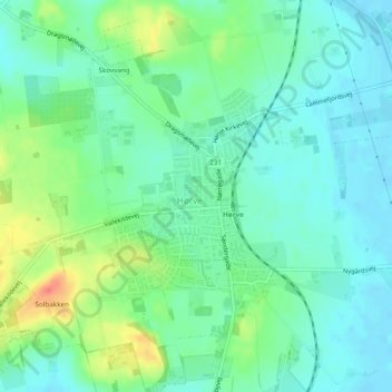
Name: Hørve topographic map, elevation, terrain.
Location: Hørve, Odsherred Municipality, Region Zealand, Denmark (55.74572 11.43658 55.76079 11.46293)
Average elevation: 15 m
Minimum elevation: -1 m
Maximum elevation: 49 m