
Ha Potiane topographic map
Interactive map
Click on the map to display elevation.
About this map
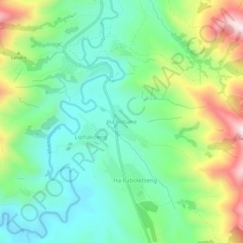
Name: Ha Potiane topographic map, elevation, terrain.
Location: Ha Potiane, Maseru District, Lesotho (-29.63613 27.74339 -29.59613 27.78339)
Average elevation: 1,886 m
Minimum elevation: 1,704 m
Maximum elevation: 2,268 m