
Shahhat topographic map
Interactive map
Click on the map to display elevation.
About this map
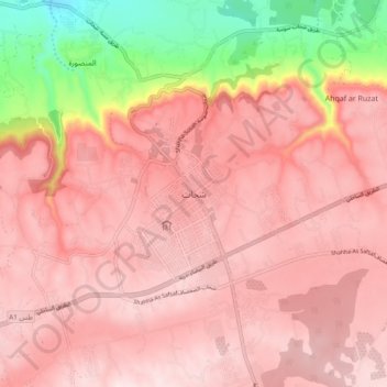
Name: Shahhat topographic map, elevation, terrain.
Location: Shahhat, Jabal al Akhdar, Libya (32.76822 21.82968 32.84822 21.90968)
Average elevation: 565 m
Minimum elevation: 289 m
Maximum elevation: 676 m