
Silver Sands topographic map
Interactive map
Click on the map to display elevation.
About this map
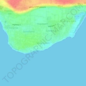
Name: Silver Sands topographic map, elevation, terrain.
Location: Silver Sands, Christ Church, 17121, Barbados (13.03003 -59.53823 13.07003 -59.49823)
Average elevation: 11 m
Minimum elevation: -1 m
Maximum elevation: 58 m