
Faraday topographic map
Interactive map
Click on the map to display elevation.
About this map
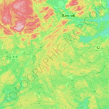
Name: Faraday topographic map, elevation, terrain.
Location: Faraday, Hastings County, Central Ontario, Ontario, Canada (44.90562 -78.03615 45.08191 -77.78886)
Average elevation: 374 m
Minimum elevation: 294 m
Maximum elevation: 517 m
Hastings County trails, hiking, mountain biking, running and outdoor activities
Other topographic maps
Click on a map to view its topography, its elevation and its terrain.