
Wajir topographic map
Interactive map
Click on the map to display elevation.
About this map
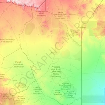
Name: Wajir topographic map, elevation, terrain.
Location: Wajir, Northeast Kenya, Kenya (0.18102 38.88874 3.69863 40.99466)
Average elevation: 357 m
Minimum elevation: 30 m
Maximum elevation: 1,406 m