
Tepeler topographic map
Interactive map
Click on the map to display elevation.
About this map
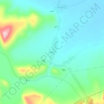
Name: Tepeler topographic map, elevation, terrain.
Location: Tepeler, Ardahan, Eastern Anatolia Region, Turkey (41.04863 42.55520 41.08863 42.59520)
Average elevation: 1,862 m
Minimum elevation: 1,802 m
Maximum elevation: 2,053 m