
Rattray Park topographic map
Interactive map
Click on the map to display elevation.
About this map
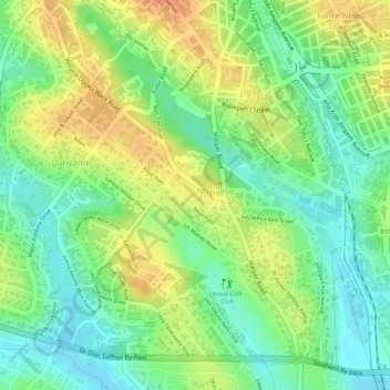
Name: Rattray Park topographic map, elevation, terrain.
Location: Rattray Park, Nhyiaeso, Kumasi, Ashanti Region, Ghana (6.67935 -1.62610 6.68182 -1.62335)
Average elevation: 261 m
Minimum elevation: 238 m
Maximum elevation: 287 m