
Otter Lake topographic map
Interactive map
Click on the map to display elevation.
About this map
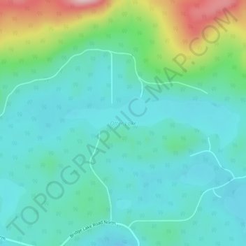
Name: Otter Lake topographic map, elevation, terrain.
Average elevation: 1,187 m
Minimum elevation: 1,132 m
Maximum elevation: 1,372 m
Other topographic maps
Click on a map to view its topography, its elevation and its terrain.
Bridge Lake
Canada > British Columbia > Area L (Lone Butte/Interlakes) > Bridge Lake
Bridge Lake, Area L (Lone Butte/Interlakes), Cariboo Regional District, British Columbia, V0K 1E0, Canada
Average elevation: 1,158 m
Horse Lake
Canada > British Columbia > Area L (Lone Butte/Interlakes)
Horse Lake, Area L (Lone Butte/Interlakes), Cariboo Regional District, British Columbia, Canada
Average elevation: 1,097 m