
Buckhorn topographic map
Interactive map
Click on the map to display elevation.
About this map
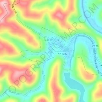
Name: Buckhorn topographic map, elevation, terrain.
Location: Buckhorn, Perry County, Kentucky, United States (37.33951 -83.48657 37.35197 -83.46014)
Average elevation: 307 m
Minimum elevation: 220 m
Maximum elevation: 427 m