
Omihachiman topographic map
Interactive map
Click on the map to display elevation.
About this map
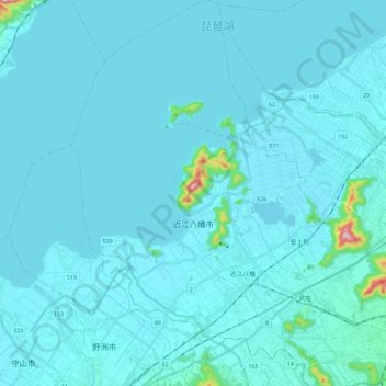
Name: Omihachiman topographic map, elevation, terrain.
Location: Omihachiman, Shiga Prefecture, Japan (35.07393 135.99585 35.26087 136.18299)
Average elevation: 96 m
Minimum elevation: 79 m
Maximum elevation: 424 m