
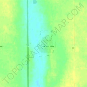
Agar topographic map
Interactive map
Click on the map to display elevation.
About this map
Name: Agar topographic map, elevation, terrain.
Location: Agar, Sully County, South Dakota, United States (44.83527 -100.07715 44.84322 -100.06939)
Average elevation: 569 m
Minimum elevation: 558 m
Maximum elevation: 576 m