
Camp Echockotee topographic map
Interactive map
Click on the map to display elevation.
About this map
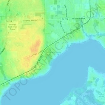
Name: Camp Echockotee topographic map, elevation, terrain.
Location: Camp Echockotee, Clay County, Florida, 32073, United States (30.13246 -81.74704 30.17246 -81.70704)
Average elevation: 9 m
Minimum elevation: -2 m
Maximum elevation: 30 m