
Langdon topographic map
Interactive map
Click on the map to display elevation.
About this map
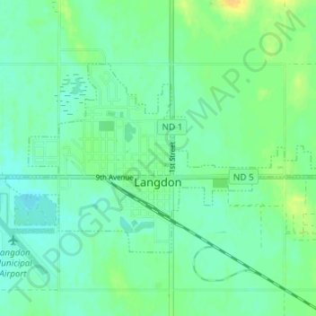
Name: Langdon topographic map, elevation, terrain.
Location: Langdon, Cavalier County, North Dakota, United States (48.75155 -98.39744 48.77570 -98.33603)
Average elevation: 492 m
Minimum elevation: 484 m
Maximum elevation: 508 m