
SERI MENANTI topographic map
Interactive map
Click on the map to display elevation.
About this map
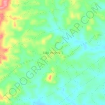
Name: SERI MENANTI topographic map, elevation, terrain.
Location: SERI MENANTI, Sabah, Malaysia (5.18230 116.25499 5.22230 116.29499)
Average elevation: 394 m
Minimum elevation: 362 m
Maximum elevation: 462 m