
Ramat HaShofet topographic map
Interactive map
Click on the map to display elevation.
About this map
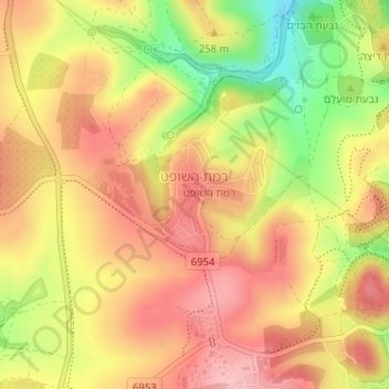
Name: Ramat HaShofet topographic map, elevation, terrain.
Location: Ramat HaShofet, Jezreel Subdistrict, North District, Israel (32.60627 35.09242 32.61518 35.10039)
Average elevation: 218 m
Minimum elevation: 130 m
Maximum elevation: 274 m