
Bikini Atoll topographic map
Interactive map
Click on the map to display elevation.
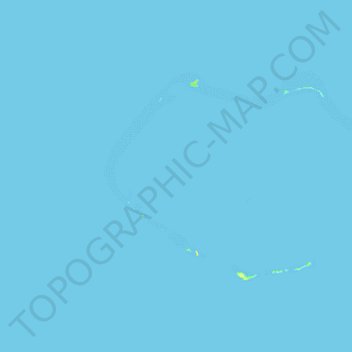
Bikini Atoll
There are 23 islands in the Bikini Atoll; the islands of Bokonijien, Aerokojlol and part of Namu were destroyed during the nuclear tests. The islands are composed of low coral limestone and sand. The average elevation is only about 7 feet (2.1 m) above low tide level. The total lagoon area is 229.4-square-mile (594.1 km2). The primary home of the islanders was the most northeast and largest islet, Bikini Island, totaling 586 acres (237 ha) and 2.5 miles (4.0 km) long.
About this map
Name: Bikini Atoll topographic map, elevation, terrain.
Location: Bikini Atoll, Kili, Ralik Chain, Marshall Islands (11.49268 165.19317 11.71628 165.57284)
Average elevation: 0 m
Minimum elevation: 0 m
Maximum elevation: 20 m