
Gros Islet topographic map
Interactive map
Click on the map to display elevation.
About this map
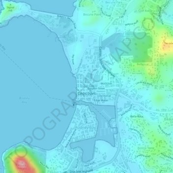
Name: Gros Islet topographic map, elevation, terrain.
Location: Gros Islet, LCO1 101, Saint Lucia (14.07897 -60.95421 14.08341 -60.94717)
Average elevation: 19 m
Minimum elevation: -2 m
Maximum elevation: 172 m