
Thank you for supporting this site ❤️
Make a donation
Make a donation
Gear up for your next adventure:
As an Amazon Associate, this site earns from qualifying purchases at no extra cost to you.
Se topographic map
Click on the map to display elevation.
Gear up for your next adventure:
As an Amazon Associate, this site earns from qualifying purchases at no extra cost to you.
About this map
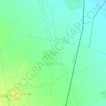
Name: Se topographic map, elevation, terrain.
Location: Se, Wundwin Township, Meiktila District, Mandalay, Myanmar (21.10332 96.03696 21.14332 96.07696)
Average elevation: 132 m
Minimum elevation: 124 m
Maximum elevation: 141 m
Thank you for supporting this site ❤️
Make a donation
Make a donation
Gear up for your next adventure:
As an Amazon Associate, this site earns from qualifying purchases at no extra cost to you.