
Burwell topographic map
Interactive map
Click on the map to display elevation.
About this map
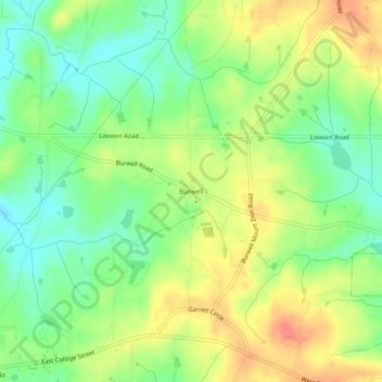
Name: Burwell topographic map, elevation, terrain.
Location: Burwell, Carroll County, Georgia, 30150, United States (33.55928 -85.22634 33.59928 -85.18634)
Average elevation: 333 m
Minimum elevation: 303 m
Maximum elevation: 370 m