
Wangara topographic map
Interactive map
Click on the map to display elevation.
About this map
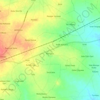
Name: Wangara topographic map, elevation, terrain.
Location: Wangara, Gezawa, Kano, Nigeria (12.00407 8.73775 12.07208 8.84097)
Average elevation: 443 m
Minimum elevation: 419 m
Maximum elevation: 472 m