
British Isles topographic map
Interactive map
Click on the map to display elevation.
About this map
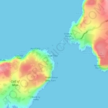
Name: British Isles topographic map, elevation, terrain.
Location: British Isles, IM9 6JA, Isle of Man (54.05995 -4.80005 54.06005 -4.79995)
Average elevation: 25 m
Minimum elevation: -1 m
Maximum elevation: 120 m
Other topographic maps
Click on a map to view its topography, its elevation and its terrain.