
Area E (West Bella Coola/Clayton Falls/Tallheo) topographic map
Interactive map
Click on the map to display elevation.
About this map
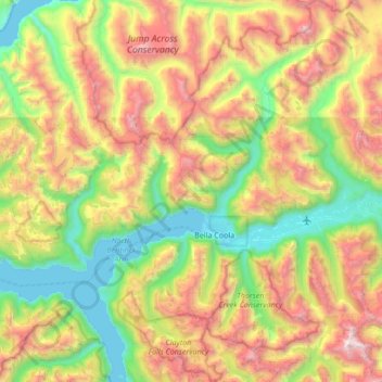
Name: Area E (West Bella Coola/Clayton Falls/Tallheo) topographic map, elevation, terrain.
Average elevation: 1,013 m
Minimum elevation: 0 m
Maximum elevation: 2,779 m