
Dry Lake topographic map
Interactive map
Click on the map to display elevation.
About this map
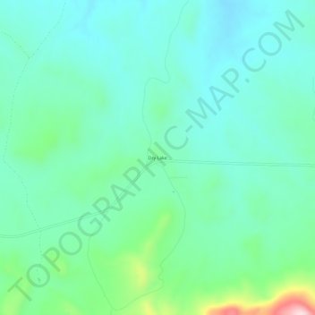
Name: Dry Lake topographic map, elevation, terrain.
Location: Dry Lake, Blaine County, Montana, United States (48.03111 -108.66654 48.07111 -108.62654)
Average elevation: 1,019 m
Minimum elevation: 949 m
Maximum elevation: 1,275 m