
Tata topographic map
Interactive map
Click on the map to display elevation.
About this map
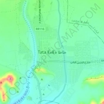
Name: Tata topographic map, elevation, terrain.
Location: Tata, Pachalik de Tata, Tata Province, Souss-Massa, Morocco (29.73640 -7.97571 29.75631 -7.95518)
Average elevation: 688 m
Minimum elevation: 657 m
Maximum elevation: 778 m