
Bushnell topographic map
Interactive map
Click on the map to display elevation.
About this map
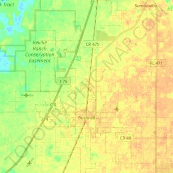
Name: Bushnell topographic map, elevation, terrain.
Location: Bushnell, Sumter County, Florida, United States (28.62479 -82.15383 28.74883 -82.07550)
Average elevation: 22 m
Minimum elevation: 3 m
Maximum elevation: 34 m