
Järna topographic map
Interactive map
Click on the map to display elevation.
About this map
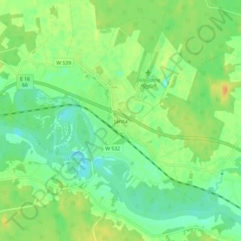
Name: Järna topographic map, elevation, terrain.
Location: Järna, Vansbro kommun, Dalecarlia, 780 51, Sweden (60.52805 14.34799 60.56805 14.38799)
Average elevation: 235 m
Minimum elevation: 223 m
Maximum elevation: 250 m