
Lorimer Lake topographic map
Interactive map
Click on the map to display elevation.
About this map
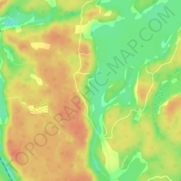
Name: Lorimer Lake topographic map, elevation, terrain.
Average elevation: 258 m
Minimum elevation: 233 m
Maximum elevation: 274 m
Other topographic maps
Click on a map to view its topography, its elevation and its terrain.
Nine Mile Lake
Canada > Ontario > Parry Sound District > McDougall Township
Nine Mile Lake, McDougall Township, Parry Sound District, Central Ontario, Ontario, Canada
Average elevation: 247 m